What Is a Smart Tag GPS Tracker and How Does It Work?
A Smart Tag Gps Tracker can look like a tiny plastic button, yet its technology varies greatly. Some devices contain GPS, cellular communication, and motion sensors. Others use Bluetooth and depend on nearby smartphones. The name can be confusing. IoT Analytics reported 16.6 billion connected IoT devices worldwide in 2023, with the total expected to reach 18.8 billion in 2024. Bluetooth SIG’s 2024 Market Update also forecasts 5.4 billion Bluetooth device shipments annually by 2028. These figures show why connected location tools are becoming common, but they do not make every tag a true GPS tracker.
A GPS model receives signals from navigation satellites to estimate its position. It then sends that location through a cellular network to an app or web dashboard. The user may see a moving dot, battery level, travel history, or a geofence alert. A Bluetooth tag works differently. It broadcasts a low-energy signal, often across only tens of meters. Nearby phones can detect that signal and update its approximate location through a crowdsourced network. Picture a tag inside a school backpack. GPS may report its route directly, while Bluetooth may update only when another compatible phone passes nearby.
Performance depends on network coverage, satellite visibility, battery condition, and software design. Buildings can weaken signals. Rural areas may produce delays. A tracker is not magic. That deserves emphasis. Buyers should check subscription fees, location accuracy, privacy controls, and emergency limitations before relying on one. Reports provide useful market context, but hands-on testing remains important. A device that works beside a window may struggle inside a concrete parking garage. The best choice matches the tracking need, not merely the product label.
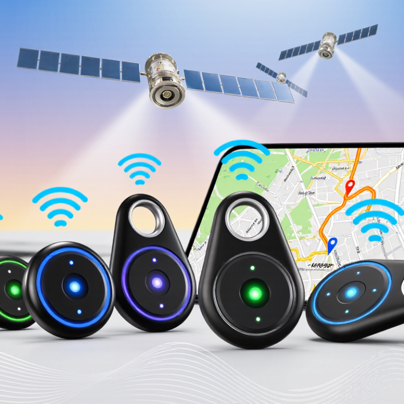
Smart Tag GPS Trackers Defined: BLE, GNSS, Cellular, and Cloud Roles
What Is a Smart Tag GPS Tracker and How Does It Work?
A smart tag GPS tracker combines several technologies, but each has a different job. Bluetooth Low Energy, or BLE, connects the tag to a nearby phone or gateway. It uses little power and can identify objects across a room, hallway, or parking area. However, BLE alone does not provide true worldwide location. That distinction is often missed.
GNSS receives signals from navigation satellites to estimate the tag’s position. Accuracy can reach a few meters outdoors, but walls, trees, and underground spaces can weaken the signal. Cellular communication then sends location data to a remote service. Without cellular coverage, updates may pause. It is not magic.
The cloud stores location history, processes alerts, and displays movement through an app or web dashboard. For example, a tag inside a backpack might use GNSS outside, cellular networks for reporting, and BLE during close-range searching. This layered design improves usefulness but also increases battery demand. Field testing usually exposes practical limits: cold weather reduces battery life, indoor positions may drift, and delayed updates can create confusing map trails. A reliable setup should show signal status, update time, battery level, and the method used for each location. These details help users judge whether a point is measured, estimated, or simply outdated.
Location Fixes Explained: GPS.gov Reports 95% Accuracy Within 8 Meters
A smart tag GPS tracker is a small device that helps locate belongings, vehicles, or pets. It receives signals from orbiting satellites and calculates an estimated position. Many trackers also use nearby Bluetooth devices or cellular networks. This combination helps when satellite signals become weak.
GPS.gov reports that GPS can achieve 95% accuracy within 8 meters under suitable conditions. That figure matters. It does not promise an exact location every time. Open outdoor spaces usually produce better results than garages, dense buildings, or narrow urban streets. Walls, tree cover, weather, and satellite visibility can affect the reading.
The location may drift.
A tracker normally sends its position to a connected phone or online service. The app then displays the result on a map, sometimes with movement history or arrival alerts. In a real-world check, a tag beside a parked car may appear several meters away. That can feel wrong, yet it may reflect normal GPS limits rather than a device failure. Bluetooth detection can improve nearby accuracy, but it depends on other compatible devices being present. Battery level also matters, because low power may reduce update frequency. I would treat every map pin as an informed estimate, not absolute proof. Checking the surrounding area is still sensible.
From Tag to App: Bluetooth Relays, 3GPP IoT Networks, and Cloud Maps
A smart tag GPS tracker combines a small radio, location logic, and a cloud connection. It may not contain a powerful GPS modem. Instead, it detects nearby phones through Bluetooth and uses them as temporary relays. The relay sends the tag’s identifier to a secure service, which places the location on a cloud map. Bluetooth SIG’s 2024 Market Update forecasts annual Bluetooth device shipments rising from about 5.4 billion in 2023 to 7.6 billion by 2028. That expanding ecosystem gives lost objects more chances to be detected.
The process changes when no compatible phone is nearby. A cellular IoT gateway can carry the tag’s data through 3GPP networks, including low-power wide-area technologies. These networks favor small messages, long battery life, and broad outdoor coverage. GSMA Intelligence expects total IoT connections to reach about 34.4 billion by 2030, showing why network-based tracking is becoming more practical. However, a tracker is not continuously visible. Buildings, underground spaces, radio congestion, and sleeping phones can delay updates.
In practical use, a map pin may represent the last confirmed relay, not the tag’s exact position. That distinction matters. A device inside a moving backpack can appear several minutes behind. Cloud systems may also estimate movement between confirmed points, which can look more precise than it is. Testing in car parks, apartment corridors, and rural roads is useful, yet no single test proves reliability everywhere. The uncomfortable truth is simple: more networks improve discovery, but they do not remove uncertainty.
Privacy and Safety Controls: Consent, Encryption, and Anti-Stalking Alerts
A smart tag GPS tracker is a small device that helps locate keys, bags, bicycles, or other belongings. Many smart tags do not contain full GPS hardware. Instead, they use Bluetooth and nearby phones to update an approximate location. This distinction matters when someone expects live tracking.
Privacy should begin with clear consent. The owner should explain what the tracker records, who can view it, and when location sharing ends. Location data should be encrypted during transfer and while stored. Strong passwords and two-step verification add useful protection. Still, encryption does not solve every problem. A shared account can expose tracking details if access is not removed.
Anti-stalking alerts are equally important. If an unfamiliar tag travels with a person for some time, the phone may display an alert or the tag may make a sound. These warnings can help someone check a coat pocket, vehicle, or backpack. They are not perfect. Alerts may arrive late, fail in crowded areas, or depend on phone settings and battery life. I would test the alert process before trusting it during travel. Users should also review permissions regularly and disable tracking when consent changes. A quiet alert is not proof of danger, but it deserves attention.
What Is a Smart Tag GPS Tracker and How Does It Work?
Smart tags can estimate location through different radio technologies. The chart shows approximate typical positioning accuracy under ordinary conditions; actual results vary with signal availability, buildings, interference, and network coverage. Because more precise location data is sensitive, responsible designs should require user consent, protect data with encryption, and provide anti-stalking alerts when an unknown tag appears to travel with someone.
Privacy and safety controls: Consent should be clear and revocable. Encryption helps protect location data during transmission and storage. Anti-stalking alerts can notify a person when an unfamiliar tracker is detected nearby for an extended period.
